blah blah blah
Mt. Caesar
Length: 1.8 mile loopDifficulty (click for info): Easy
Elevation Gain: 430 feet (+0 feet on descent)
Rating (click for info): 5/10
Elevation: 962'
Prominence: 215'
Driving Directions:
Trailhead and parking area are at Mt. Caeasar Cemetery off Rt. 32 in Swanzey. Travelling south on Rt. 32 from Rt. 12, after 3 miles you will drive past a triangle junction with Sawyers Crossing Road and enter the town center. Just 0.1 miles past this, look for the one-lane entrance to the cemetery on the right. It is directly across from the town hall. Drive 400 feet uphill on the entrance road, and just after the road splits into a loop through the gravesites, turn right and park in the small lot on a cut-through road. Click here for a Google map.
About the Hike:
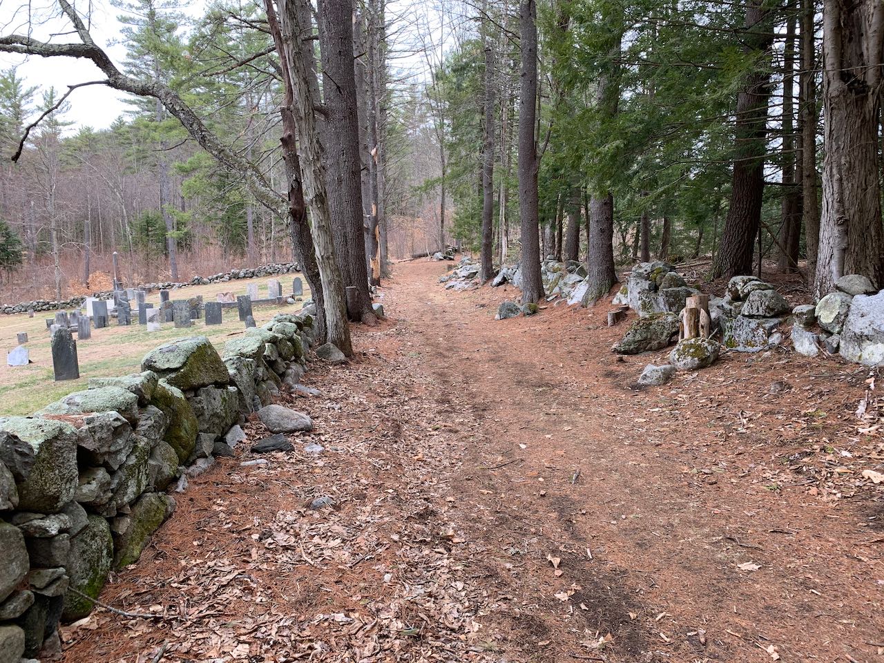
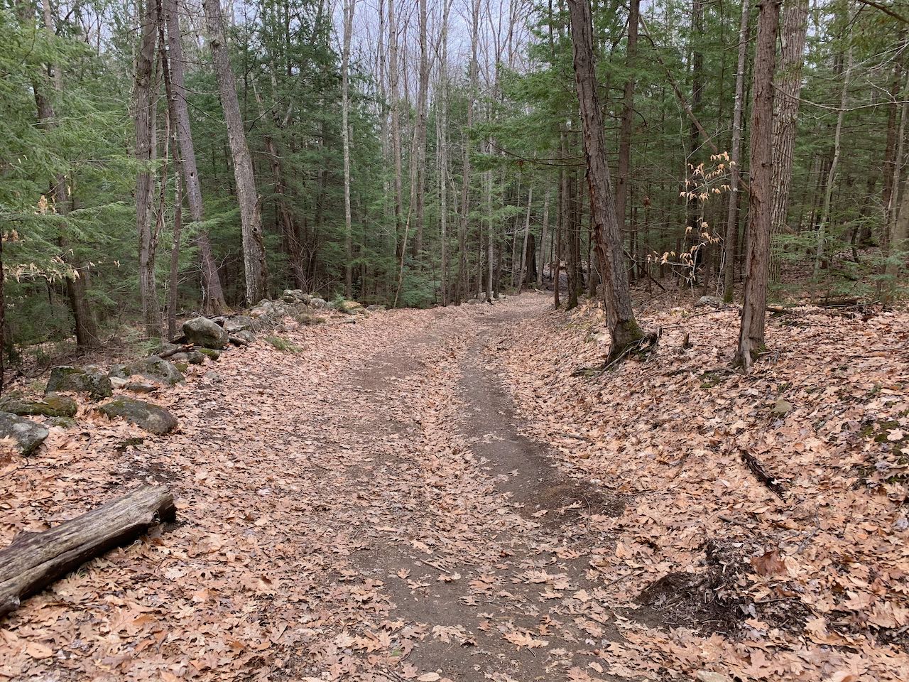
Just outside the charming town center of Swanzey, you'll find this enjoyable loop hike fashioned around unofficial paths on the low hill Mt. Caesar. Coming in at under 1000 feet in elevation, the miniature mountain's stony top offers nice lowland views. The steeper ascent trail will give you a very brief workout, and then you can enjoy the gradual descent on wide woods roads. No signs mark the start of the trail; follow the beaten path from the opposite (left) side of the parking area across a strip of trees and through a portion of the cemetery. Hop over a stone wall and you are soon following a wide path along the edge of the cemetery and into the woods. Passing the end of the clearing, as the wide path veers right into an open field, continue straight on the narrower foot trail. Soon after, the trail forks. Take the left fork, which crosses a small brook on a wooden plank bridge and quickly begins climbing a steep slope. You're a quarter mile in when you reach the base of the hill here. The footway is not very clear, but the trail is marked with surveyor's flags the whole way up. It ascends mostly directly up the sharp hillside, with all the characteristics of an informal trail that has come about from frequent use rather than being designed.
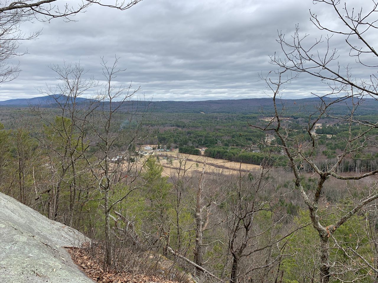
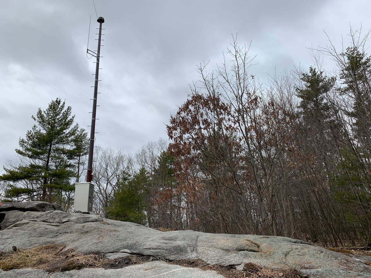
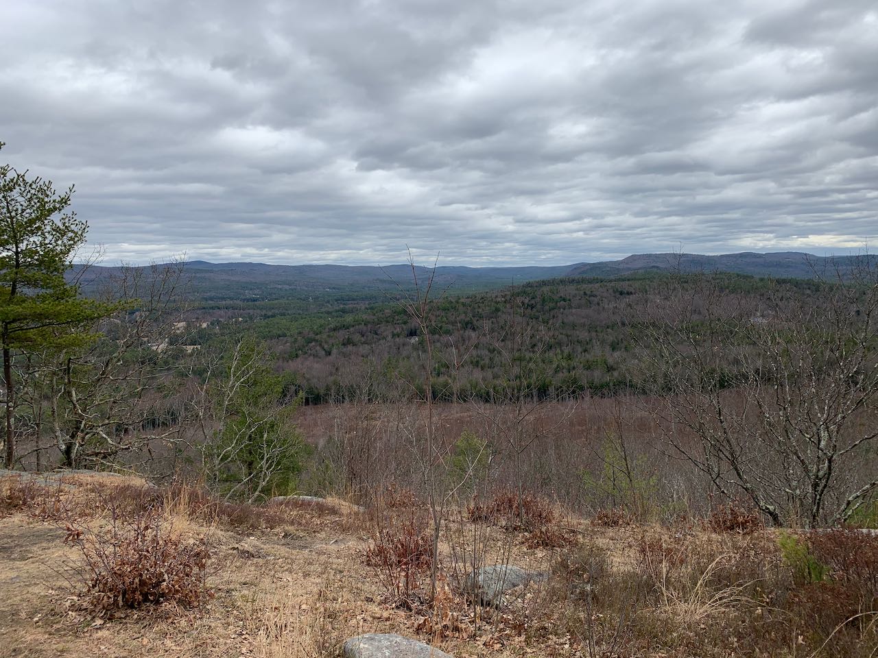
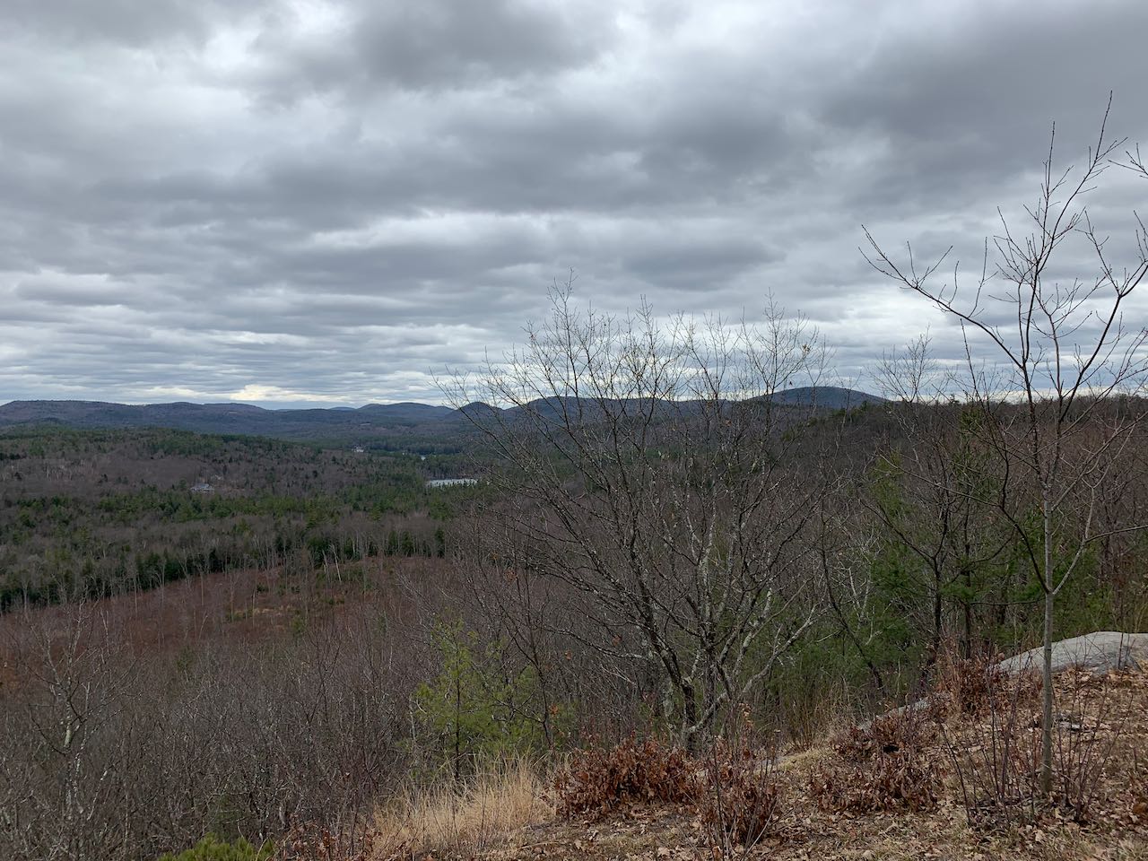
After another quarter mile, as the trail nears the top of the hill and the slope rounds out, it swings left and leads close to the edge of a steep drop-off on the south side. In 0.1 miles, it comes out onto an open ledge with a fine view out to the south, looking over a recently timbered valley. Mt. Monadnock can be seen from here, standing in contrast to the collection of small hills and flat terrain everywhere else. Partially screened out by trees, the town center of Swanzey, with its open fields, is also visible down below. Off to the right, other small peaks in the area are seen - of note are Franklin Mountain, the highest hill to the right; the rounded knob of little Gun Mountain; and in the center of the view, a chain of low hills known as the Franconia Range, sharing a name with the vastly more famous string of alpine summits in the White Mountains. A little further, and you reach the cell tower on the summit's ledges, where there is a similar, but more open view. From this larger clearing, you can check out the same view, with an added glimpse of Swanzey Lake. Head down on the wide woods road coming in from the other side. This provides a much gentler decent to the north alongside stone walls and logged areas. It heads straight out for about 0.4 miles, then eventually curls back to the east. Bear right to stay on the main road around this turn. It then leads down through some seasonally muddy areas to the open field near the beginning in another 0.3 miles. Follow the road across the open field for 0.2 miles, emerging on the driveway to a white building (the Carpenner House, an old homestead). Turn right and walk 150 feet down the cut-through road to the cemetery to arrive back at the parking area.
Printable directions page